


To strengthen the meteorological systems of Tokelau, special tide gauges have been installed on all three atolls of this tiny Pacific nation.
Tokelau is a non-self-governing territory of New Zealand, which consists of three main coral atolls: Atafu, Nukunonu, and Fakaofo.
These low-lying coral atolls have maximum elevations of just three to five metres above sea level. Tokelau’s exclusive economic zone spans about 319,000 square kilometres of the South Pacific Ocean.
The data collected from the tide gauges will be critical for many coastal activities, including safe navigation, habitat restoration and preservation.
Ulu o Tokelau, Alapati Pita Tavite
Asifangalua Pasilio
The multi-purpose tide gauge stations will record both ocean and weather data, including sea levels and air temperature.
Tokelau Meteorological Services director Asifangalua Pasilio told RNZ Pacific that the stations’ value also lies in the knowledge and investment that will help build Tokelau’s capacity to monitor these conditions.
“My team will be trained in how to use the stations and collect this important information for Tokelau,” she said.
“The territory relies on Fiji or Samoa data to make predictions on its tide,”
Pasilio said that having its own tide gauges is a major step forward for Tokelau.
“This is a part of a longer journey of building Tokelau’s own meteorology capability, and this is a start,” Pasilio said.
“We are not fully equipped yet to produce our own weather information.”
She explained that there is still work to be done before the system is fully operational but the information that is received here will be transmitted to Fiji and Samoa.
The data received will be also used to develop important weather tools for Tokelau.
“The ocean is everything to Tokelau,” she said.
“It is also the territory’s greatest vulnerability. The importance of getting reliable data, and turn it into information that can use to make informed decisions for our people. This will improve our preparedness for disasters and also to build resilience, so this is very important for Tokelau,” Pasilio said.
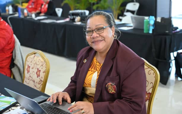
The Director of Tokelau’s Meteorology Services, Asifangalua Pasilio
WRP-SPREP
Travel between Tokelau’s three atolls – Atafu, Nukunonu and Fakaofo – and to and from the country is possible only by sea. Tokelau has no airports, airstrips or deep-water ports capable of accommodating large vessels.
The boat trip from Apia, Samoa, to Tokelau takes 24 to 32 hours to reach the first atoll, depending on the vessel and sea conditions.
Pasilio said anything could happen during the cyclone season, which starts on 1 November.
Earth Sciences New Zealand is predicting elevated cyclone activity for parts of the Pacific during the coming cyclone season. It said that between seven to 11 named cyclones could occur in the southwest Pacific.
For northern, central and northeast areas – including Samoa, Tokelau, and parts of Kiribati – there is an elevated risk.
Pasilio said Tokelau had been very lucky because it had not had a cyclone for the last few years, but that this time of year sees many Tokelauans returning home to their atolls, increasing the risks involved with that travel.
